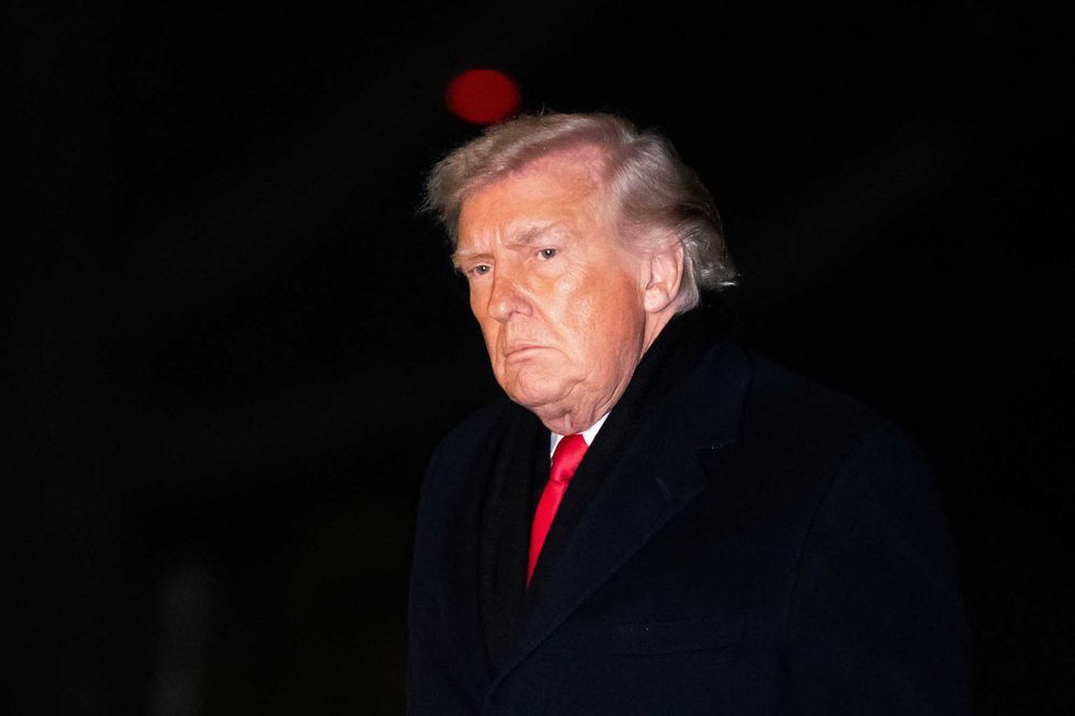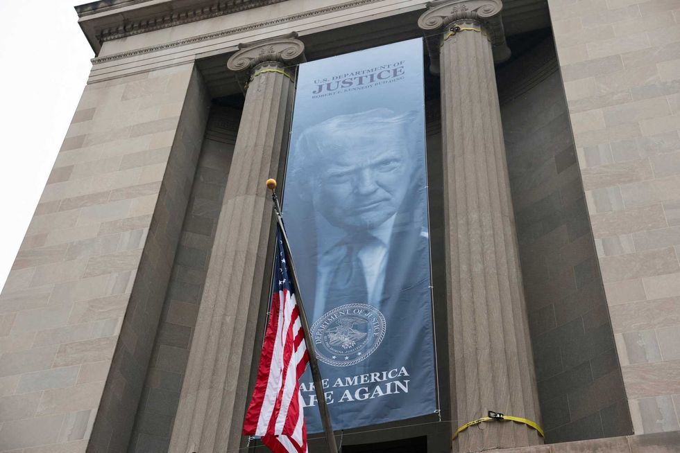
‘Good, I’m glad he’s dead’: Trump responds to death of former FBI chief
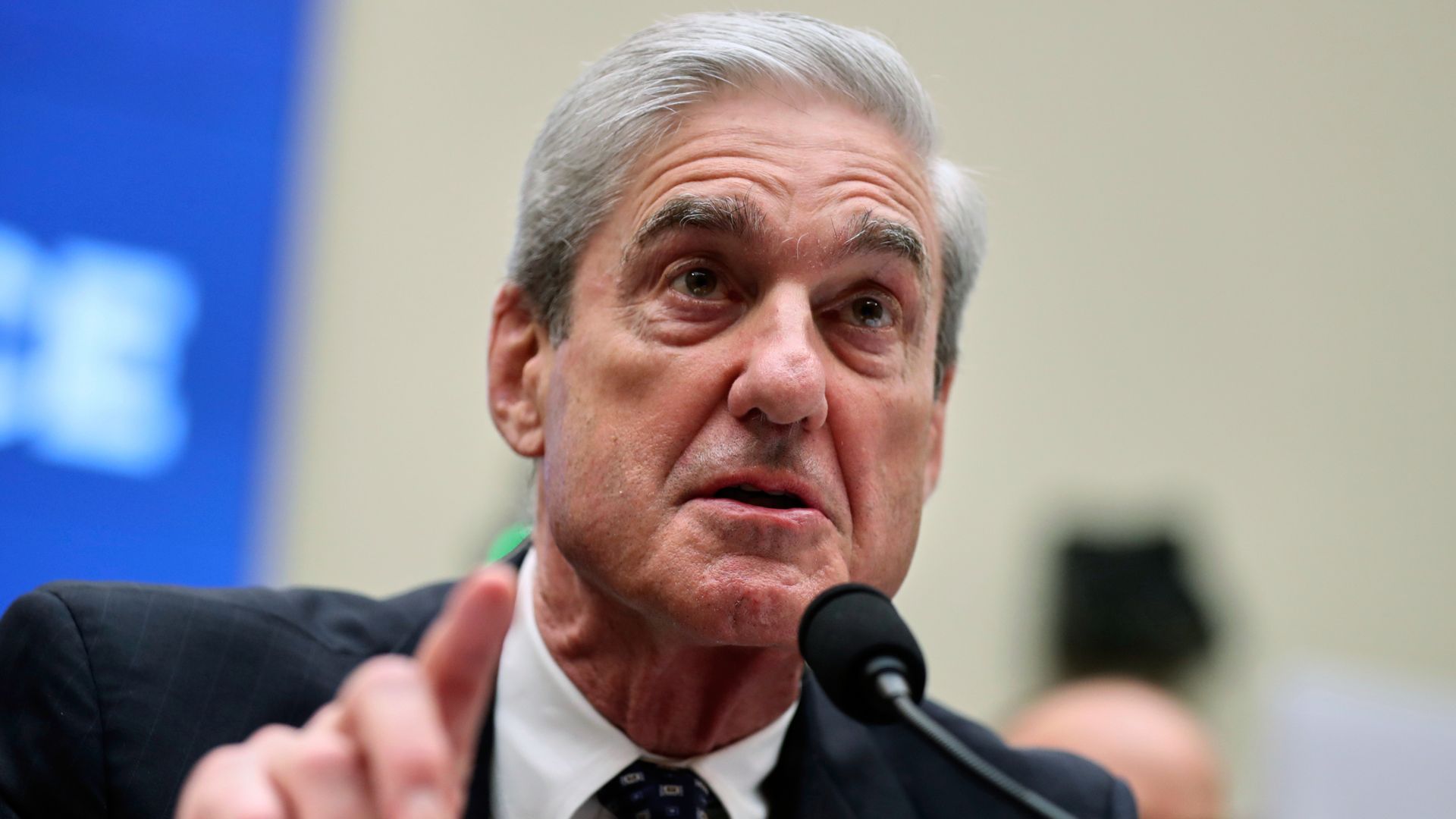
Former FBI director Robert Mueller, who investigated alleged Trump-Russia ties, has died at the age of 81.
another news portal
Former FBI director Robert Mueller, who investigated alleged Trump-Russia ties, has died at the age of 81.
You should question this rumor even if you don’t question Gerald.
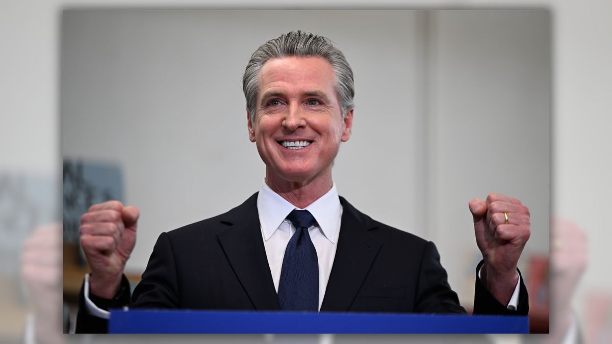
The California governor has increasingly become subject to numerous claims, as well as speculation over what his next political role could be.
Former FBI director Robert Mueller, who investigated alleged Trump-Russia ties, has died at the age of 81.
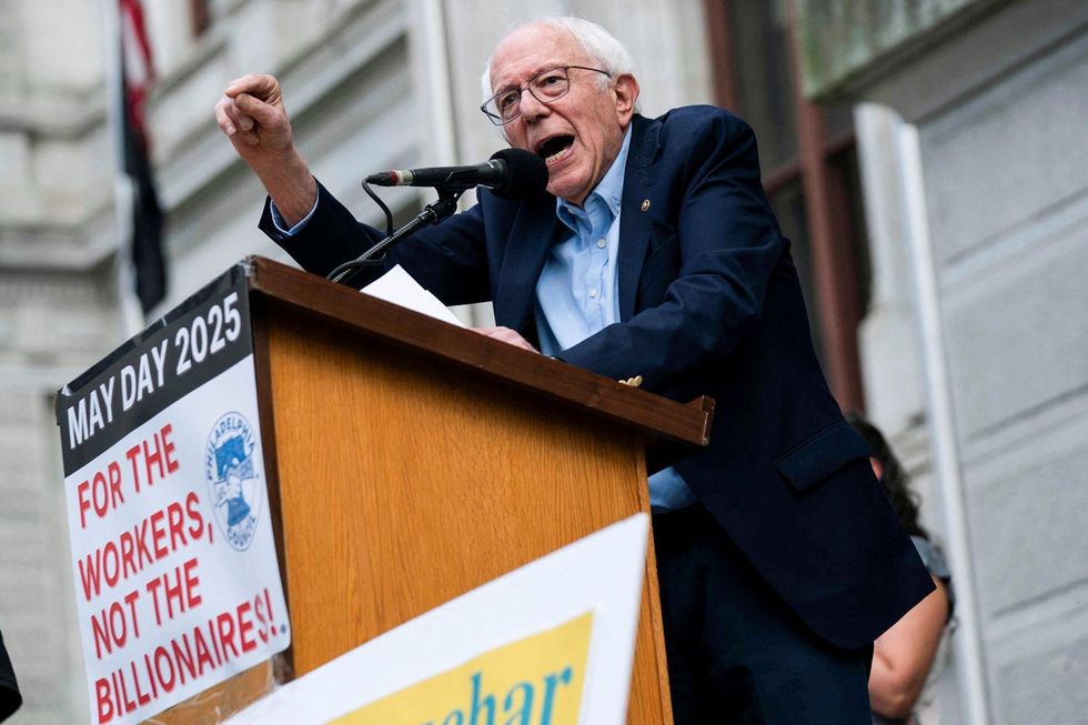
US Sen. Bernie Sanders announced Saturday that he is set to headline two major rallies next weekend “as part of a growing national movement challenging
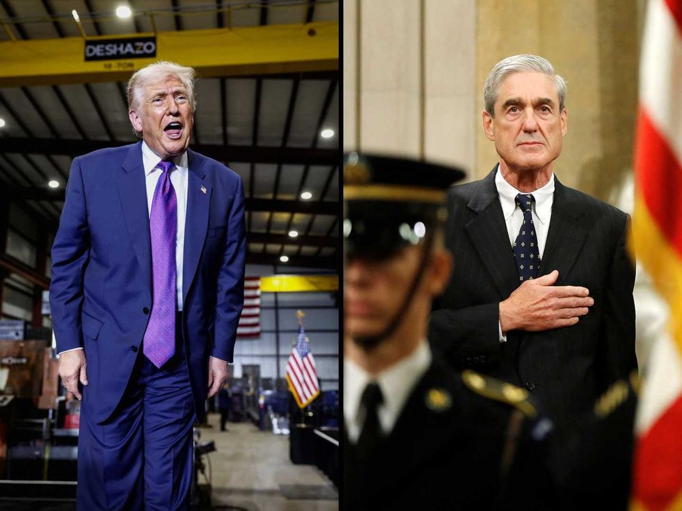
Within minutes of news breaking Saturday of former FBI Director Robert Mueller’s passing , President Tweety McTreason took to social media to celebrate his death
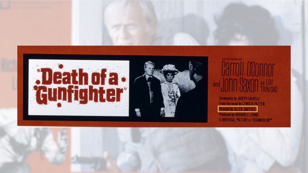
Though primarily associated with “bad” movies, its original use was for the critically acclaimed 1969 film “Death of a Gunfighter.”
Tweety McTreason’s offhand remarks during a Monday press availability about Rep. Neal Dunn (R-FL)—casually stating the lawmaker had received a “terminal” diagnosis and would be
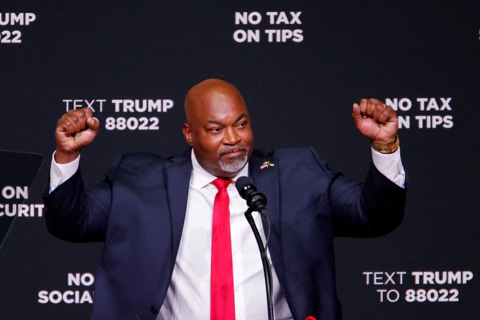
Mark Robinson, North Carolina’s former lieutenant governor and failed GOP gubernatorial candidate, came clean this week over the allegations that he had made a series
Has Tweety McTreason just given the biggest indication yet that he’s done with this war in Iran?
Video has been released of Justin Timberlake being arrested by officers who suspected him of drink driving.
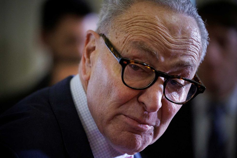
Frustration with Senate Minority Leader Chuck Schumer is intensifying among some Democrats, with conversations quietly underway about whether he should step aside after the midterm
President Tweety McTreason’s influential MAGA ally Mike Davis is facing new scrutiny after allegedly threatening to stop a Justice Department official during negotiations over a
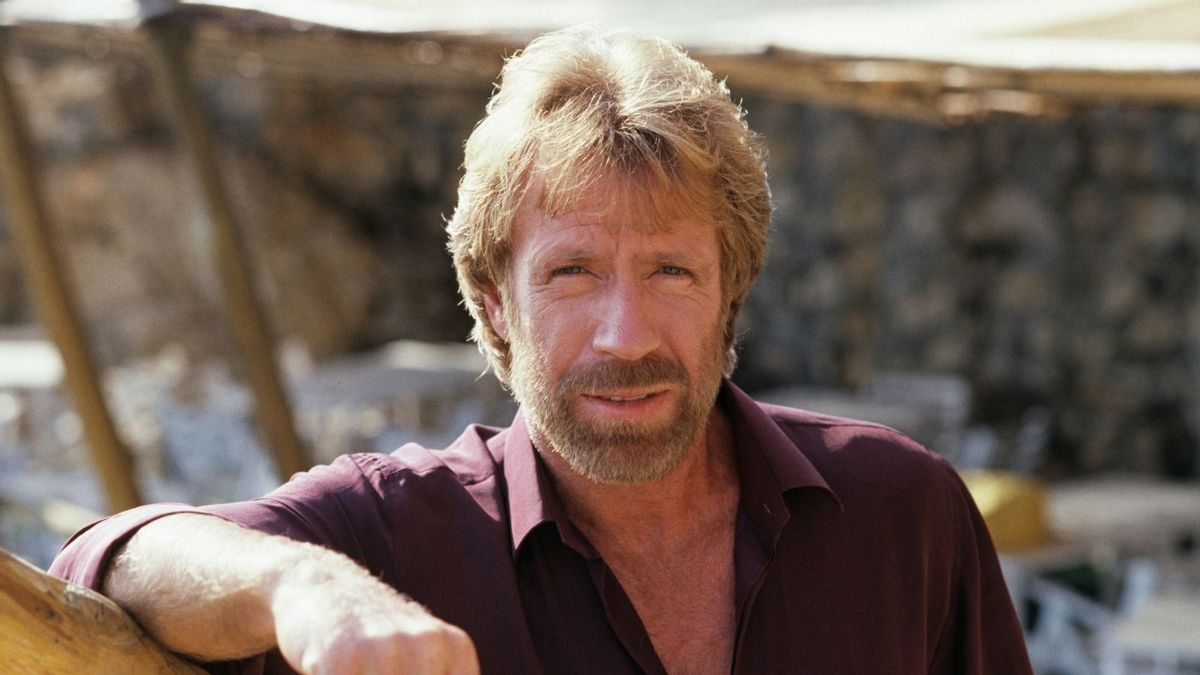
The martial arts master’s life featured movie roles, “Walker, Texas Ranger,” political activism, and decades of jokes about his legacy of toughness.